
Approximately 205.86 Total Acres In San Bernardino County For Sale
Mountain Springs Oasis offers approximately 205.86 acres at the I-40 and Historic Route 66 interchange between Needles and Barstow, California. The property is located at 34.830088, -115.050931.
Contact Us To Learn More About This Property!

Rare Interstate Interchange Development Opportunity
Mountain Springs Oasis sits at the crest of Piute Mountain Pass, giving the property exceptional elevation and long-range visibility along I-40. The grade and slow-truck lanes approaching the interchange create extended exposure to traffic in both directions.
Its interstate access and prominent location offer potential for travel-oriented commercial development. Historical business plans, feasibility studies, and architectural concepts are available for prospective purchasers to review. Future development would be subject to applicable governmental requirements and approvals.
Commercial Development Possibilities
Mountain Springs Oasis offers potential opportunities for a travel center, truck fueling station, restaurants, lodging, retail, and other commercial uses. Its location along Interstate 40 provides access to travelers and commercial traffic moving between California, Arizona, and Nevada.
The property’s CR Rural Commercial zoning allows a range of commercial uses and certain secondary residential uses, subject to San Bernardino County requirements and approvals.
San Bernardino County completed a pre-application review of a proposed development concept. Additional applications, studies, and approvals would be required for future development.
All Three Parcels Combine to Approximately 205.86 Total Acres
Parcel 1
Tax ID / APN #: 0656-251-01-0000- Property Type: Land – Zoning Description: CR
+ Property Sub-type: Commercial/ Other (land)
Parcel 2
Tax ID / APN #: 0656-241-07-0000- Property Type: Land – Zoning Description: CR
+ Property Sub-type: Commercial/ Other (land)
Parcel 3
Tax ID / APN #: 0656-241-09-0000- Property Type: Land – Zoning Description: CR
+ Property Sub-type: Commercial/ Other (land)
Property Information
Historical property documents include a Feasibility Study, Business Plan, and conceptual plans for Travel Center Development. Additional documentation includes an Environmental Review and Title Report. The property has an existing interchange overpass, commercial electrical infrastructure, and documented well information.
The historical Business Plan includes conceptual drawings, construction schedules, and cost estimates. These materials illustrate previous development concepts and do not represent current approvals or guaranteed financial performance. Future development would be subject to applicable governmental requirements and approvals.
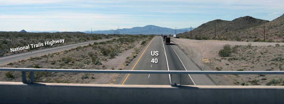
Picture is West facing from the bridge and the Old Historic Route 66 also known as National Trails Highway.
Highlights
Historic Route 66 runs alongside Interstate 40 near the Mountain Springs Road interchange.- Acres: Approximately 205.86 total acres
- County: San Bernardino
- State: California
- Nearby Communities: Essex and Needles, California; Laughlin, Nevada
- Property Type: CR – Rural Commercial zoning. Allows a range of commercial uses and certain secondary residential uses, subject to San Bernardino County requirements and approvals.
San Bernardino County Pre-Application Review Completed
Feasibility Study, environmental review, business plan done and available with NDA
1% or less property tax rate
Prime location for development and growth
Zoning: CR – Rural Commercial
Re-Zoned Commercial
San Bernardino County completed a pre-application review of the proposed development concept. Additional applications, studies, and approvals would be required for future development.
Located on I-40 at the Mountain Springs Road / Historic Route 66 interchange between Needles and Barstow, California, the property offers potential for a variety of commercial uses, including a travel center, vehicle fueling and charging, restaurants, lodging, retail, RV facilities, and related traveler services.
The property’s CR – Rural Commercial zoning allows a range of commercial uses and certain secondary residential uses, subject to San Bernardino County requirements and approvals. Historical development concepts are illustrative, and a future purchaser may pursue alternative uses or configurations subject to applicable approvals.
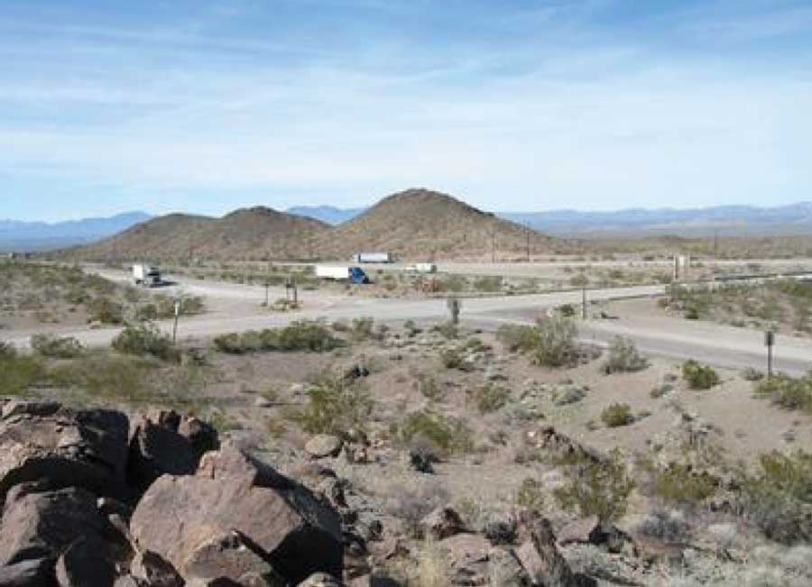

Residential and Employee Housing
Historical development concepts included potential employee housing, lodging, and RV accommodations. The property’s CR Rural Commercial zoning allows certain secondary residential uses, subject to San Bernardino County requirements and approvals. Any future residential development would require review of applicable zoning and land-use requirements.
Videos of Property and Surrounding Area
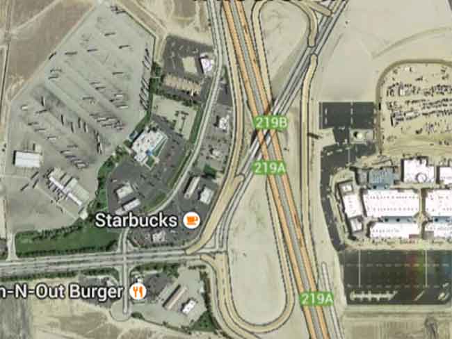
Travel Center

Retail Opportunities

Power and Solar
Commercial electrical infrastructure is already located on the property’s largest parcel, with additional utility and easement documentation available for review.
Water Opportunities
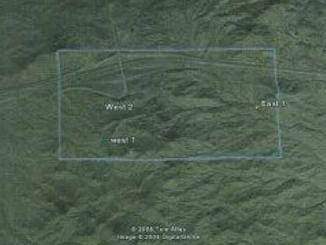
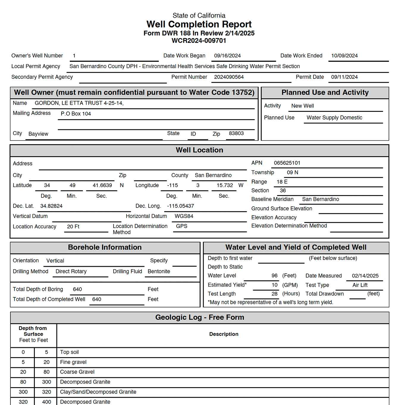
The property has two older California-numbered wells and a commercial well completed in February 2025. See the Water Opportunities section for additional details.
Travel Center
Contact Us To Learn More About This Property!
Conceptual Travel Center Development
The original development plan included a travel center concept modeled after the Wheeler Ridge Travel Center near Interstate 5. Proposed amenities included truck and passenger vehicle fueling, restaurants, retail stores, vehicle repair and washing facilities, showers, and lodging. These historical plans illustrate potential commercial uses for the property. The final development configuration and capacity would depend on applicable governmental requirements and approvals.
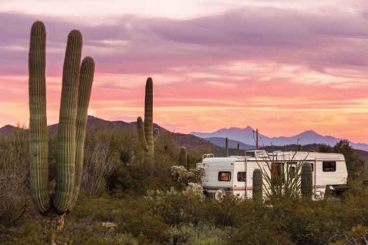
RV Park For Campers
An RV park was included among the property’s historical development concepts. The location along Interstate 40 and Historic Route 66 provides access to regional destinations, including the Colorado River, Lake Havasu, Kingman, Laughlin, and the surrounding Mojave Desert. An RV park or related traveler accommodations could be explored as part of a future development plan, subject to applicable approvals.Fast Food Chains and Casual Dining Restaurants
Restaurants and dining facilities were an important part of the original development concept. Potential uses included quick-service restaurants, casual dining, and other food service businesses catering to interstate travelers and commercial truck traffic. The property’s location at the Mountain Springs Road interchange presents an opportunity to explore food and beverage services as part of a larger commercial development, subject to applicable approvals.
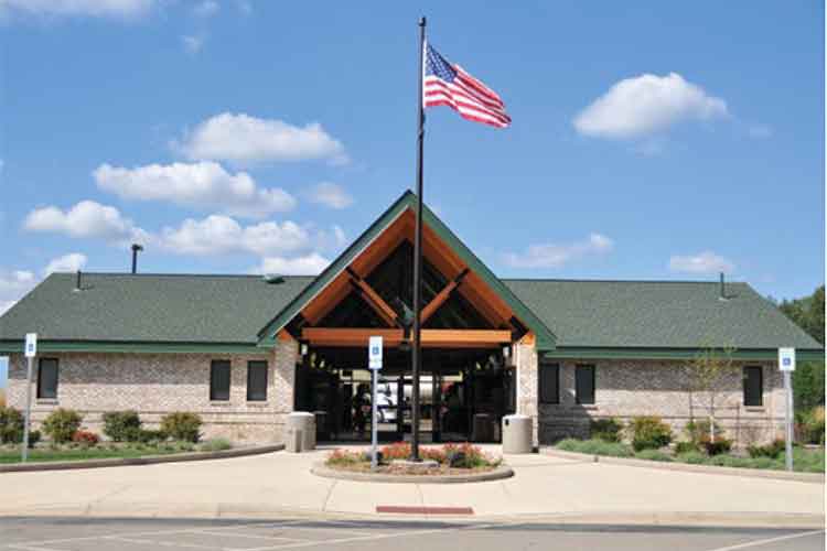
Roadside Information Center
A visitor information center was another component of the historical development concept. Such a facility could provide travelers with information about Historic Route 66, nearby communities, recreational destinations, and regional attractions. This concept could complement other travel-oriented commercial uses, subject to applicable development approvals.Preliminary Plans For Travel Center and Multiple Businesses at Mountain Springs Oasis Are Available
A historical feasibility study evaluated travel centers and fueling stations along the Interstate 40 corridor between Barstow, California, and Kingman, Arizona. The study and accompanying development plans are available for prospective purchasers to review as background information. Findings and projections should be evaluated in the context of current market conditions and applicable development requirements.

Plans Modeled After Wheeler Ridge Travel Center
The original travel center concept was modeled after the Wheeler Ridge Travel Center near Interstate 5 in California. The plans explored a combination of fueling, dining, retail, and other traveler services. These plans are historical examples intended to illustrate potential development concepts and do not represent an approved project.

Historical Development Documents Available
The property owner has accumulated historical development materials, including business plans, feasibility studies, surveys, and conceptual site plans. These documents are available for prospective purchasers to review in the Plans, Surveys, and Legal section. Historical development concepts are provided to demonstrate potential uses and prior planning. A future purchaser may pursue a different development configuration, subject to applicable governmental requirements and approvals.
Retail Opportunities
Plenty of room to build to suit long term commercial tenants
Interested in Mountain Springs Oasis?
Build To Suit Commercial Tenants
Historical development plans explored potential commercial parcels for restaurants, retail establishments, and other businesses. These concepts illustrate possible development opportunities rather than approved plans. A future purchaser may pursue different commercial uses and parcel configurations, subject to applicable San Bernardino County requirements and approvals.
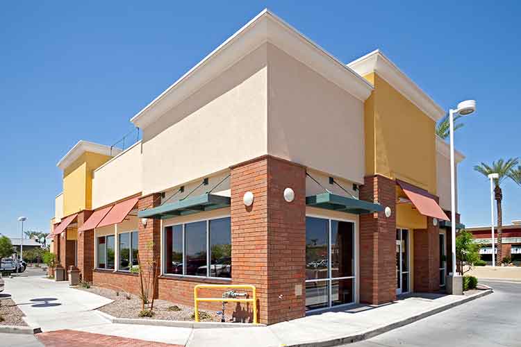

Historic Route 66 Experience
Mountain Springs Oasis is located at the Mountain Springs Road / Historic Route 66 interchange along I-40. Existing freeway ramps and an overpass provide access to this historic highway corridor.
Contact Us To Learn More About This Property!
Built-In Route 66 Theme and Opportunity
Historic Route 66, often called the “Mother Road,” connected Chicago to the Pacific Coast and remains one of America’s most recognized highways. Preservation efforts and renewed interest in Route 66 have helped maintain its importance as a historic travel destination.
Mountain Springs Oasis sits at the crest of Piute Mountain Pass, where the Mountain Springs Road / Historic Route 66 interchange provides access to Interstate 40. Its elevated position offers long-range visibility, while the approaching grades and slow-truck lanes create extended exposure to interstate traffic.
The surrounding Mojave Desert includes historic Route 66 communities, scenic landscapes, and public lands. These regional attractions present potential opportunities for travel-oriented commercial services, subject to applicable development approvals.

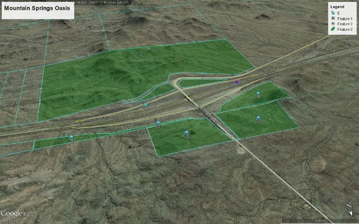
Aerial view of the three Mountain Springs Oasis parcels showing Interstate 40 frontage and the Historic Route 66 overpass.
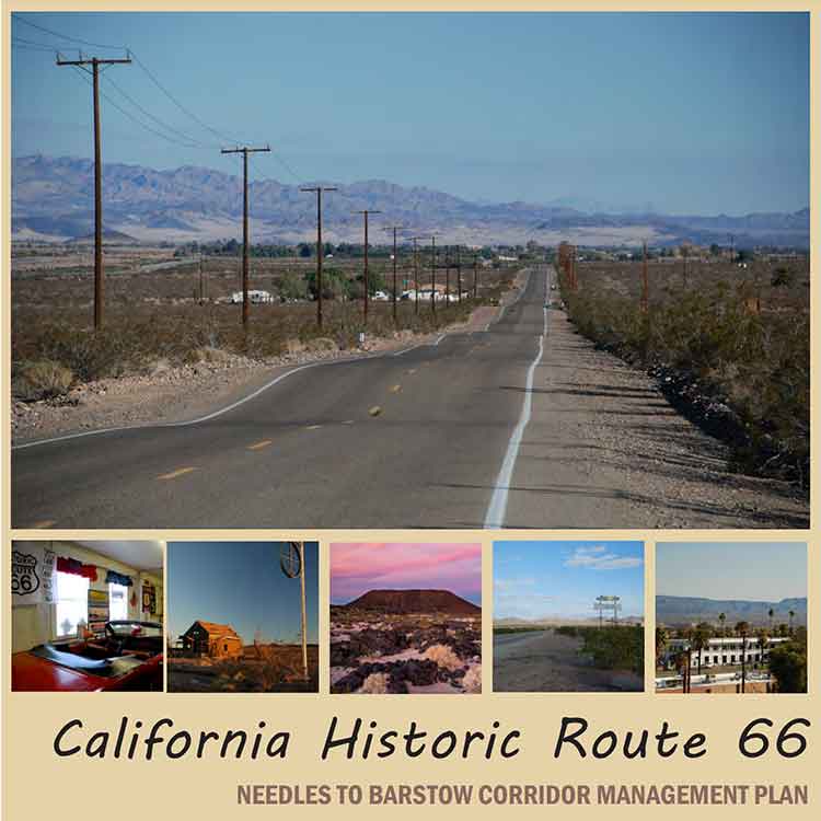
Historic Route 66 Corridor Management Plan
The California Historic Route 66 Needles to Barstow Corridor Management Plan (CMP) documents the historical significance of Route 66 through the Mojave Desert, including its bridges, roadside landmarks, and surrounding landscape.
Additional information about Historic Route 66 and nearby communities, including Chambless, Amboy, and Bagdad, is available through WikiTravel.org.
Historic Route 66 Preservation Resources
The National Park Service has supported preservation efforts involving historic Route 66 buildings, structures, road segments, and cultural landscapes. Past programs have also supported research, planning, and educational projects. Information about historical grant opportunities and future program updates is available through the National Park Service Route 66 Cost-Share Grant Program.
Power and Solar Opportunities
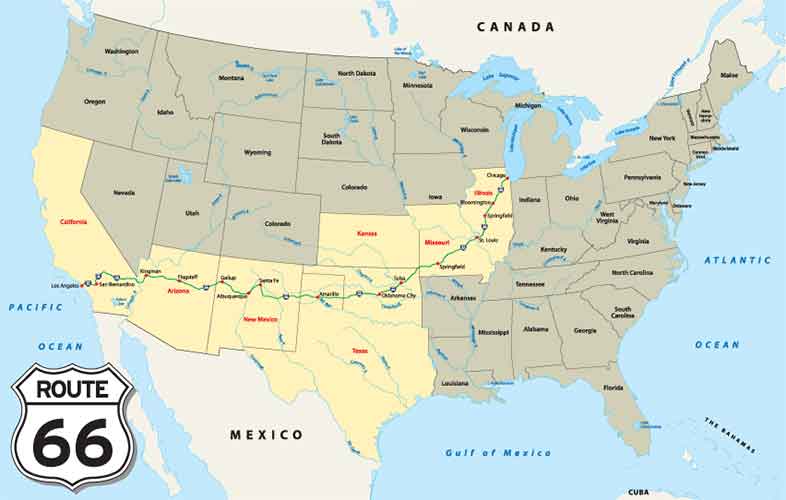
Commercial electrical power infrastructure is already located on the approximately 171.88-acre parcel. Historical utility and title records show pole-line, conduit, communications and public-utility easements affecting the property. A related power-distribution facility is located approximately one-half mile east along I-40.
Contact Us To Learn More About This Property!
Power Already At The Site
Commercial electrical infrastructure is located on the property’s approximately 171.88-acre parcel. Historical utility and easement documentation is available in the Plans, Surveys and Legal section.
Water Opportunities
A new commercial well was completed in February 2025. The well is approximately 640 feet deep, with a reported static water level of approximately 96 feet and an estimated production rate of approximately 10 GPM.
Contact Us To Learn More About This Property!
Fenner Basin Aquifer Possibilities
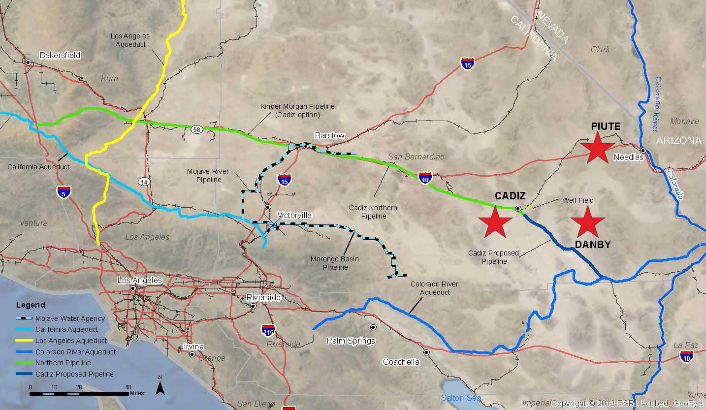
The property is located within the broader Fenner Valley groundwater basin in San Bernardino County. Just south of the property, the Cadiz Water Project is pursuing groundwater development and water distribution infrastructure for Southern California. Groundwater availability, access, and water rights for this specific property have not been verified.Map of Fenner Basin Aquifer.
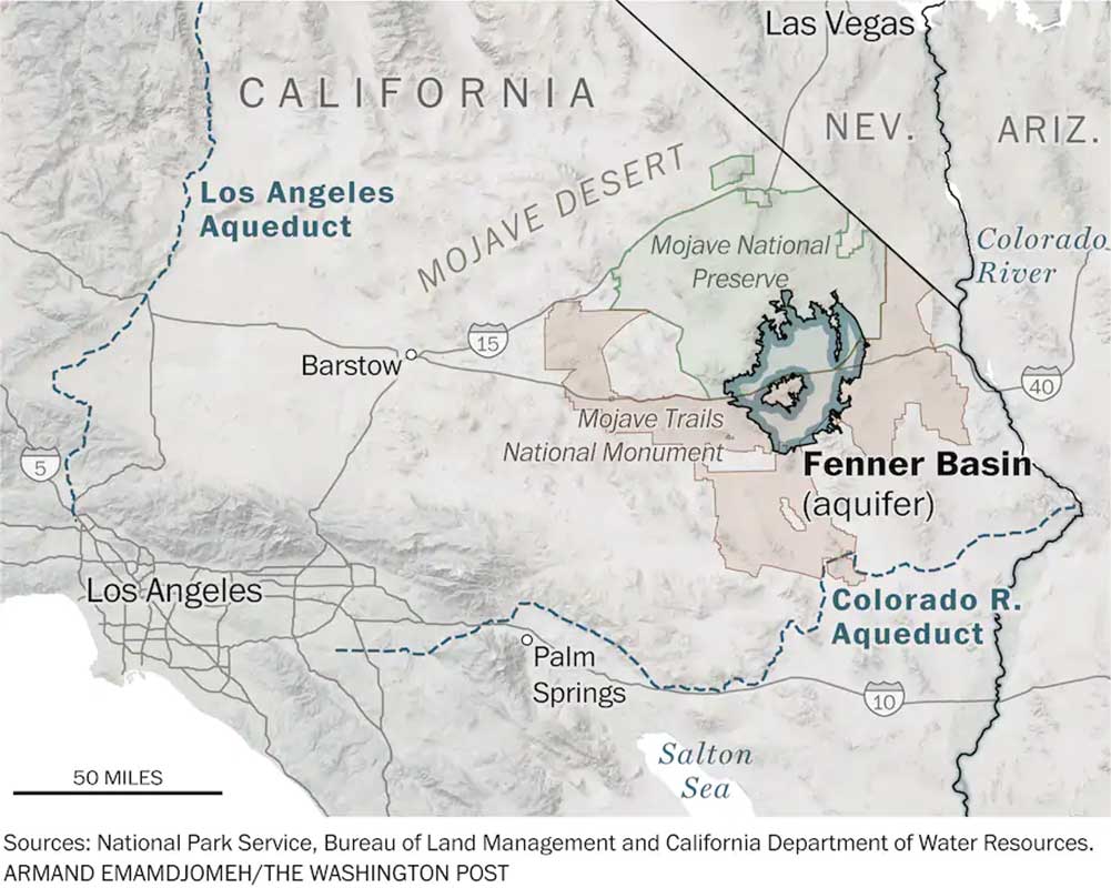
Map of existing and proposed water pipelines.
Plans, Surveys and Legal
Contact Us To Learn More About This Property!
View Related Documents Below
Property Plans, Appraisals, Maps and Zoning Documents
Historical development concepts are provided to demonstrate potential uses and prior planning. A future purchaser may pursue a different development configuration, subject to applicable governmental requirements and approvals.


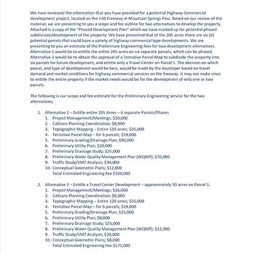
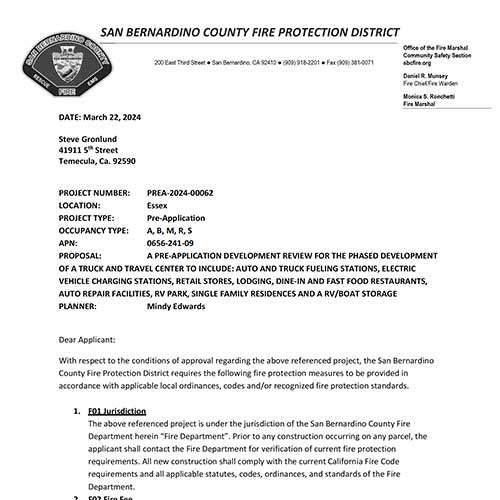


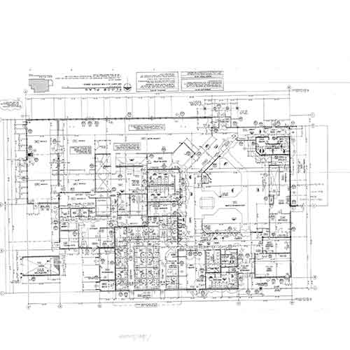
Business Development Plan Documents




Power, Water and Energy Documents


Send Us A Message
Contact Us to Discuss Mountain Springs Oasis
Steve Gronlund
Broker
Email: Steve@VintageMortgageFirm.com
Phone: 951-551-8161